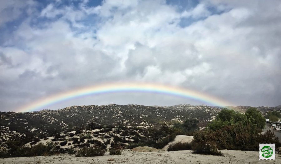
One of the activities we are enjoying in SoCal is hiking. There is an amazing number of hikes available within driving distance from Jojoba Hills, and there’s BLM land just outside our park's gate that offers random single-track dirt roads and trails to explore. Here’s a brief recap of the February hikes we did with either the Jojoba Hills Hiking group or friends.
Click here for the January Hikes.
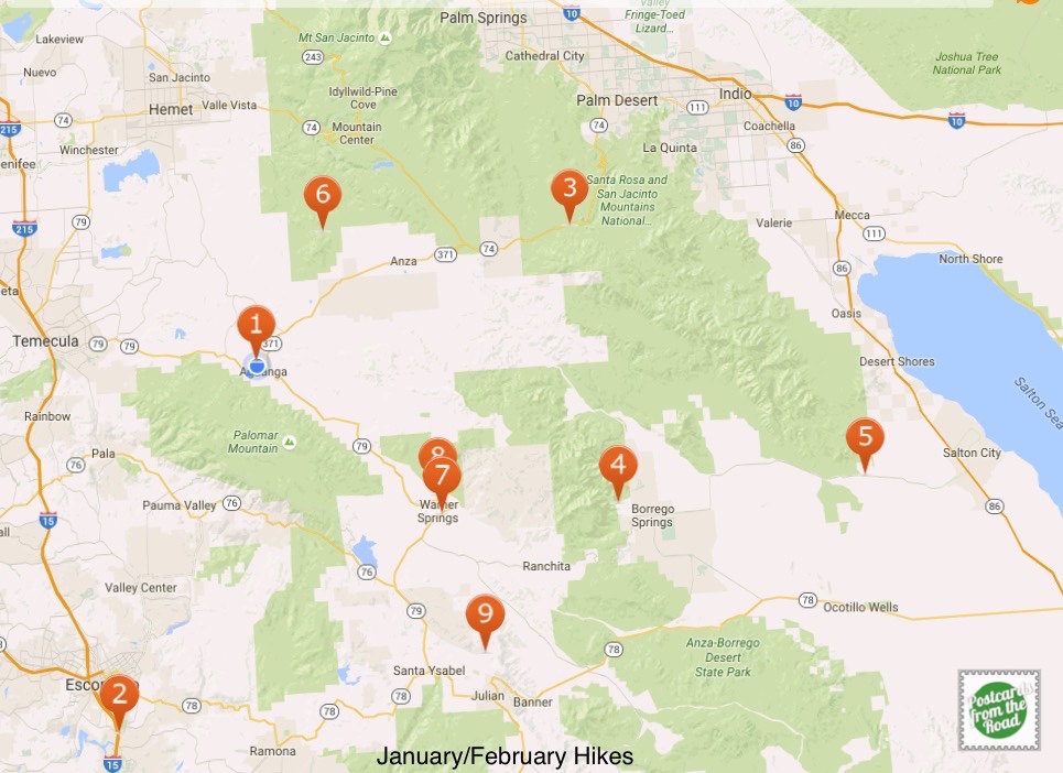
For you folks that enjoy maps, below is a map of each hike recorded by our FitBit app.
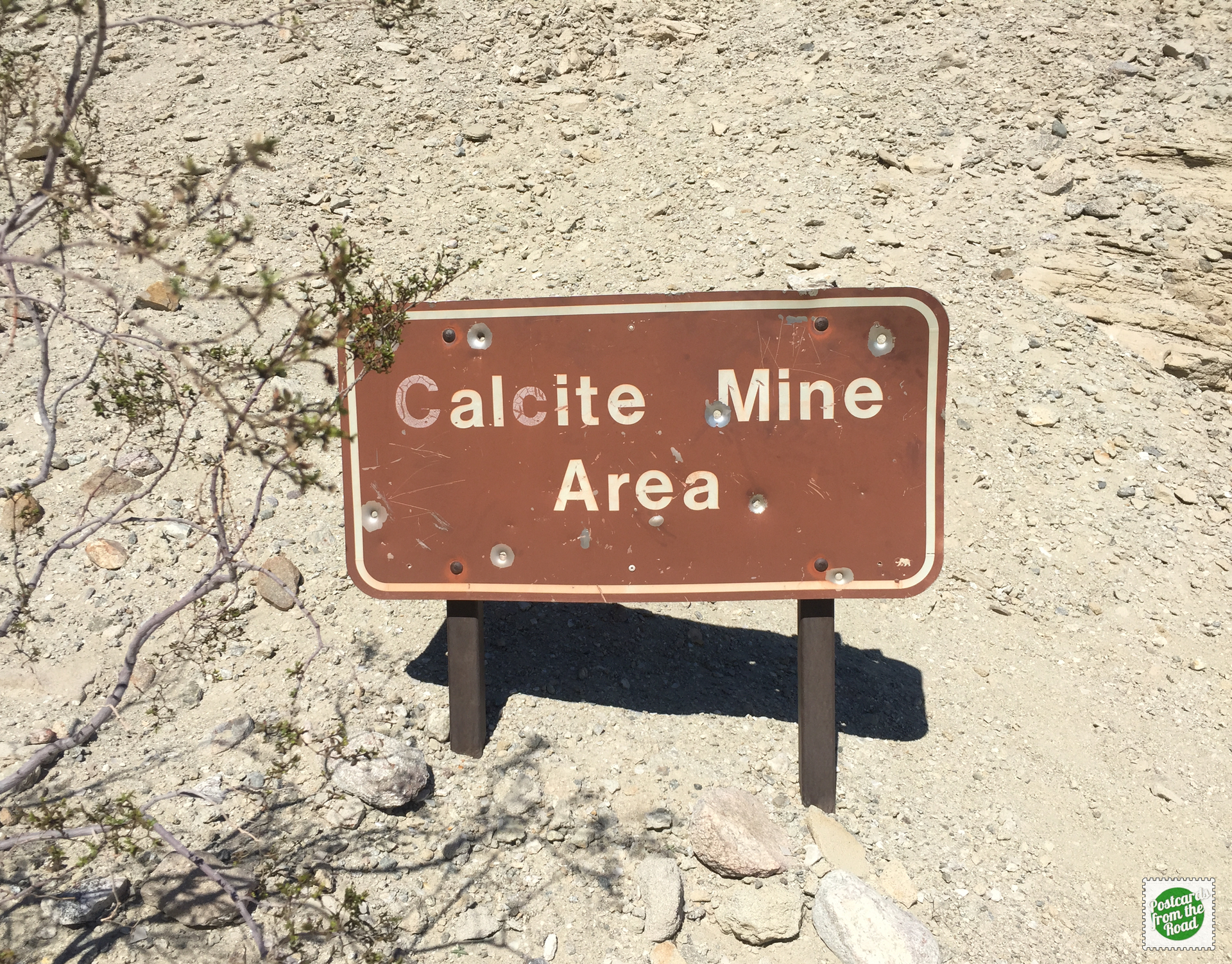
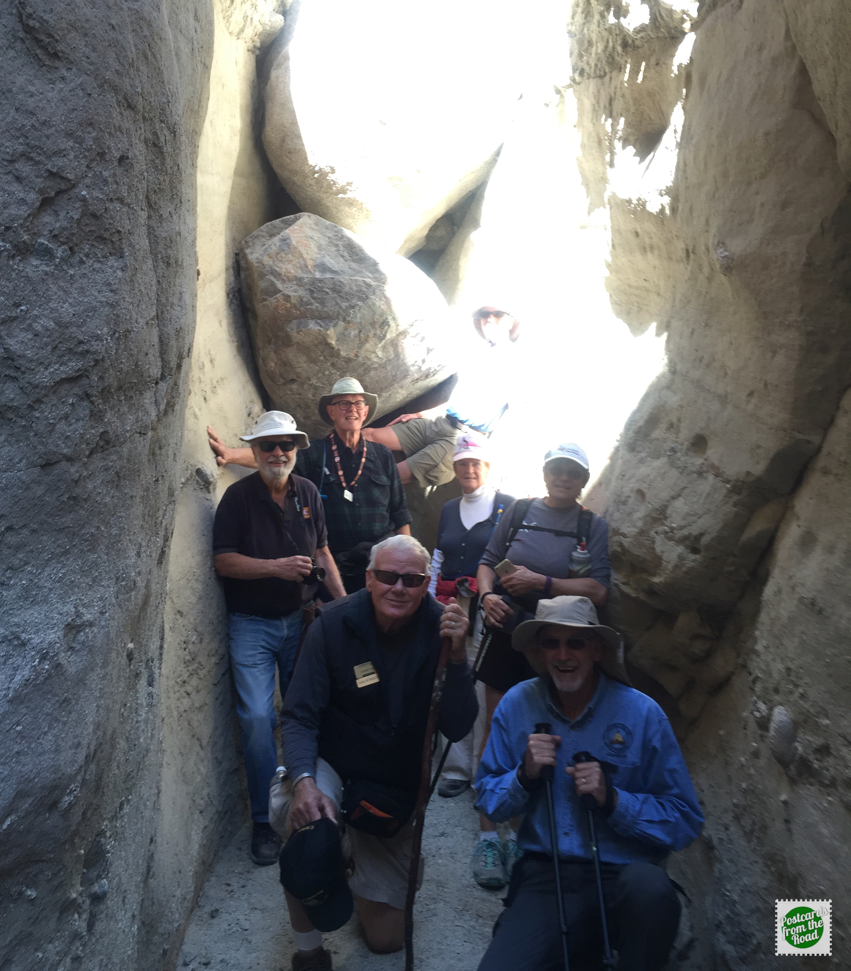
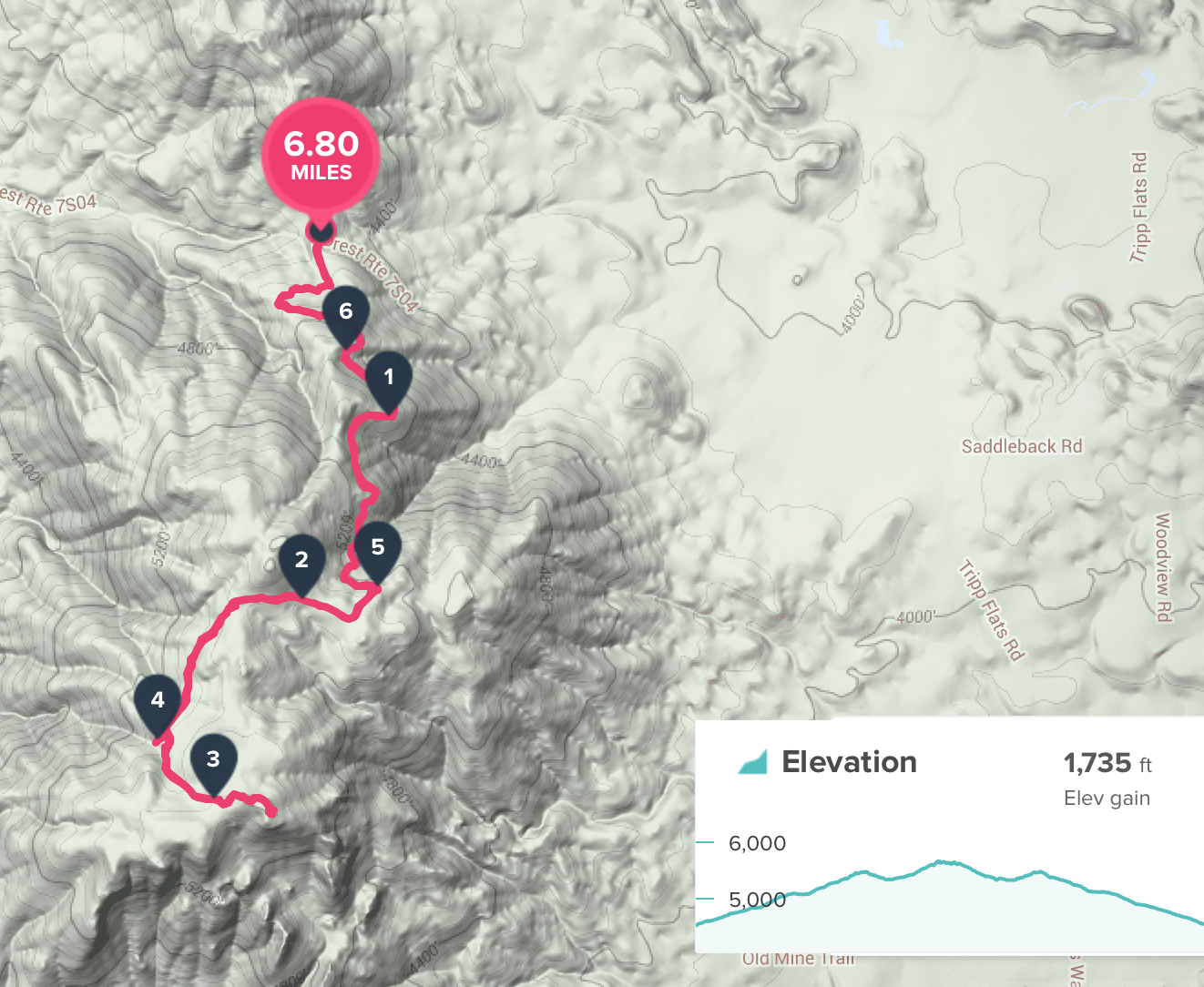
5 – Calcite Mine Trail, Anza-Borrego Desert State Park (Feb 2)
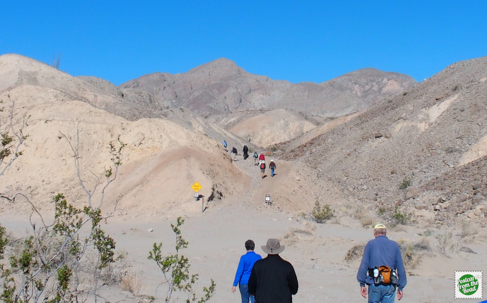
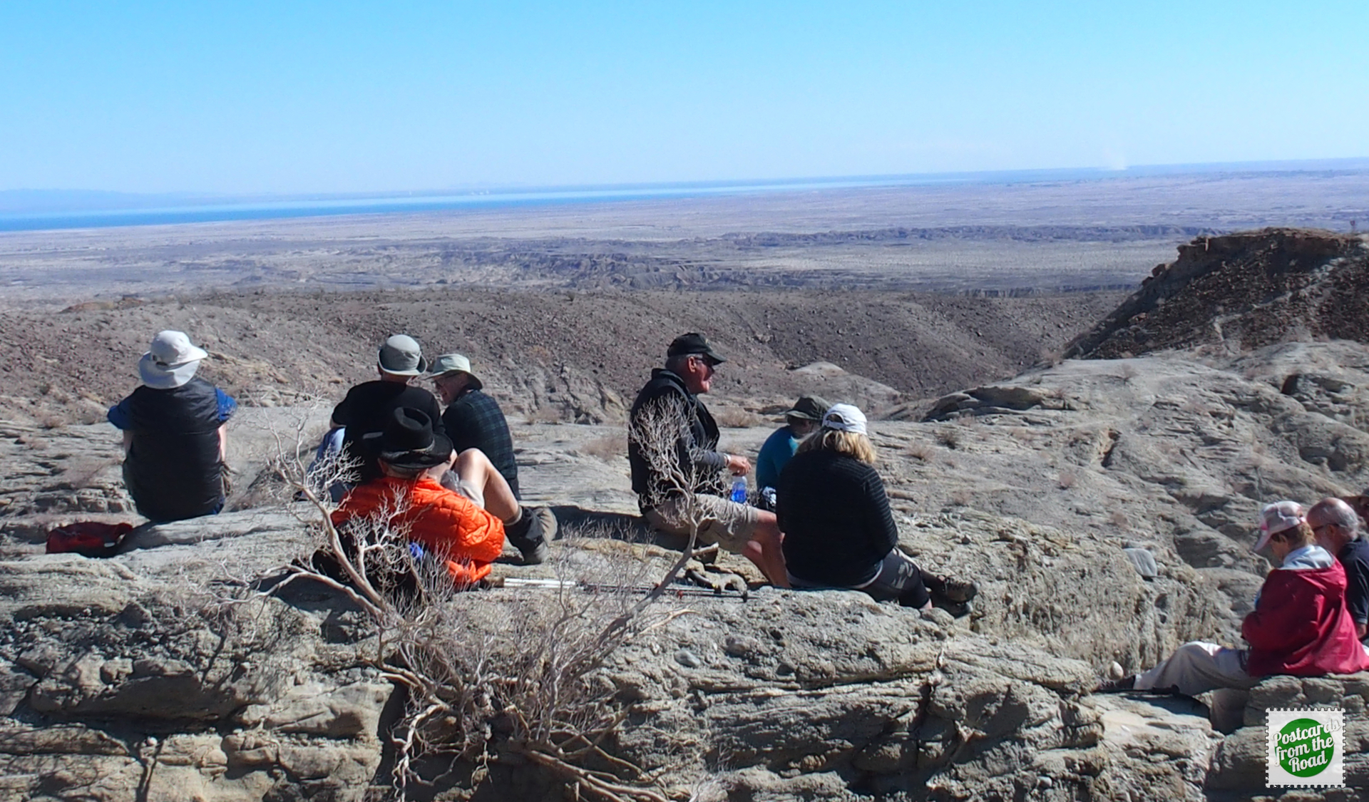 Lunch stop with a View.
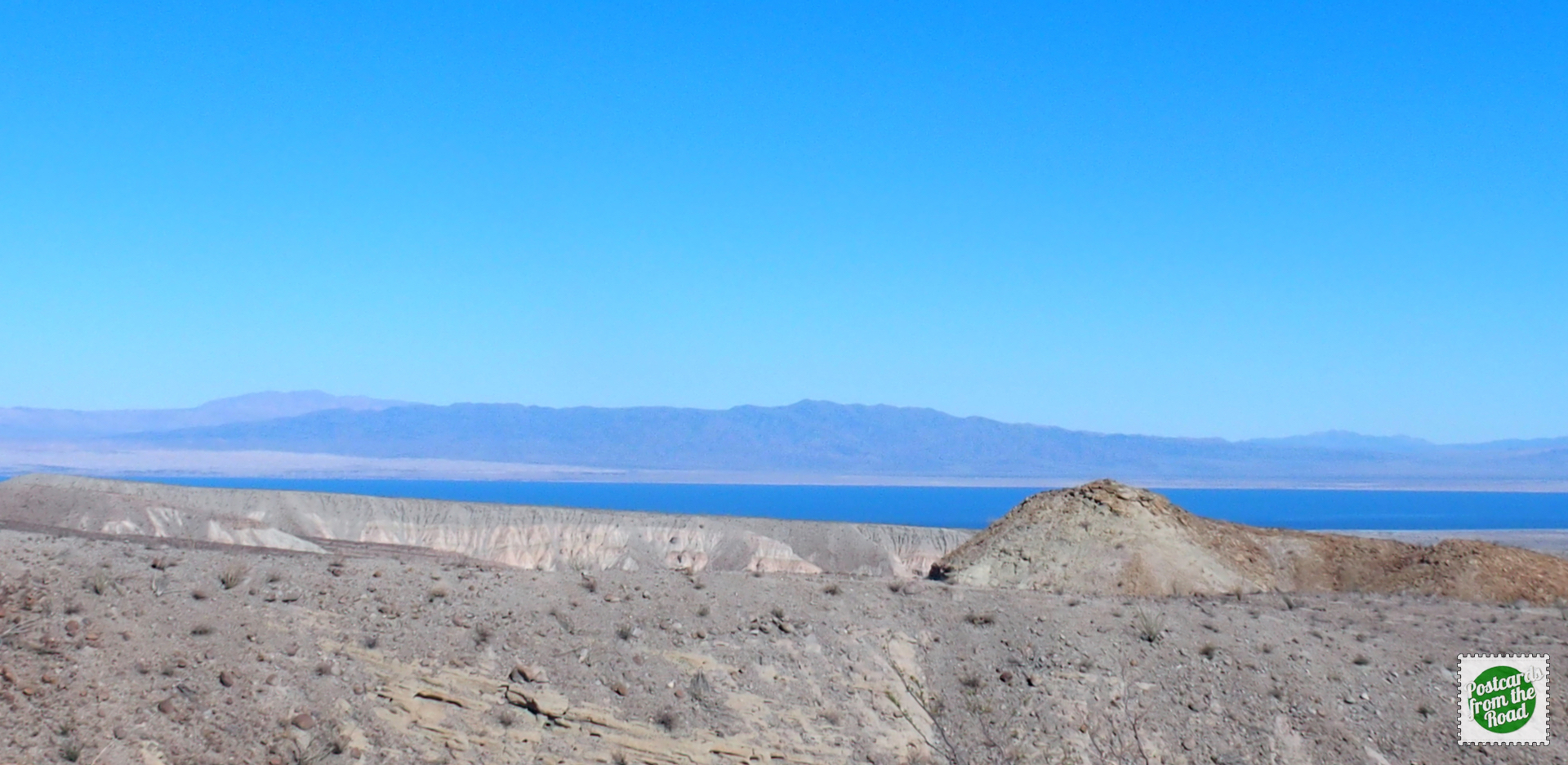 The Salton Sea in the background.
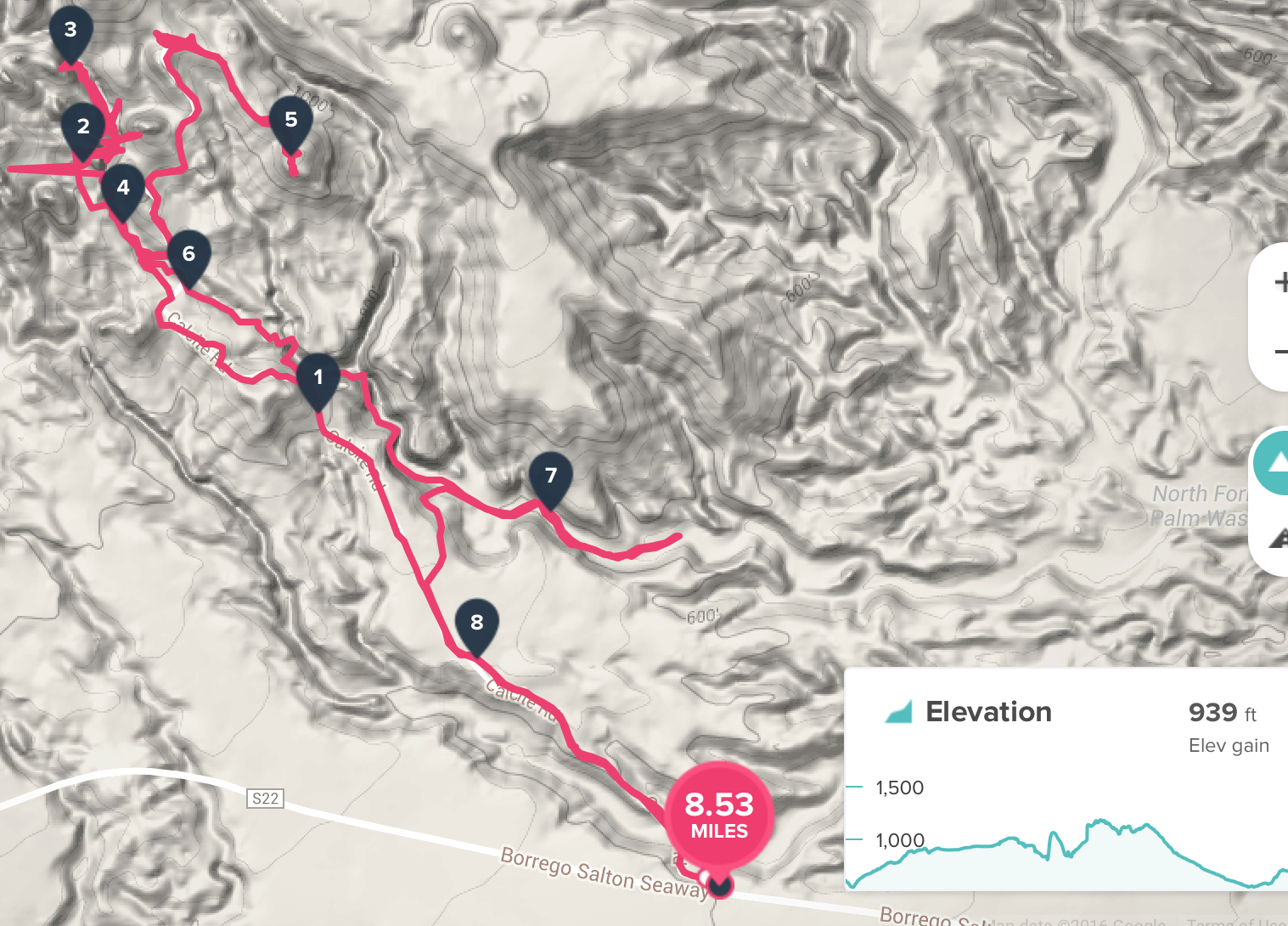 Calcite Mine Trail Map
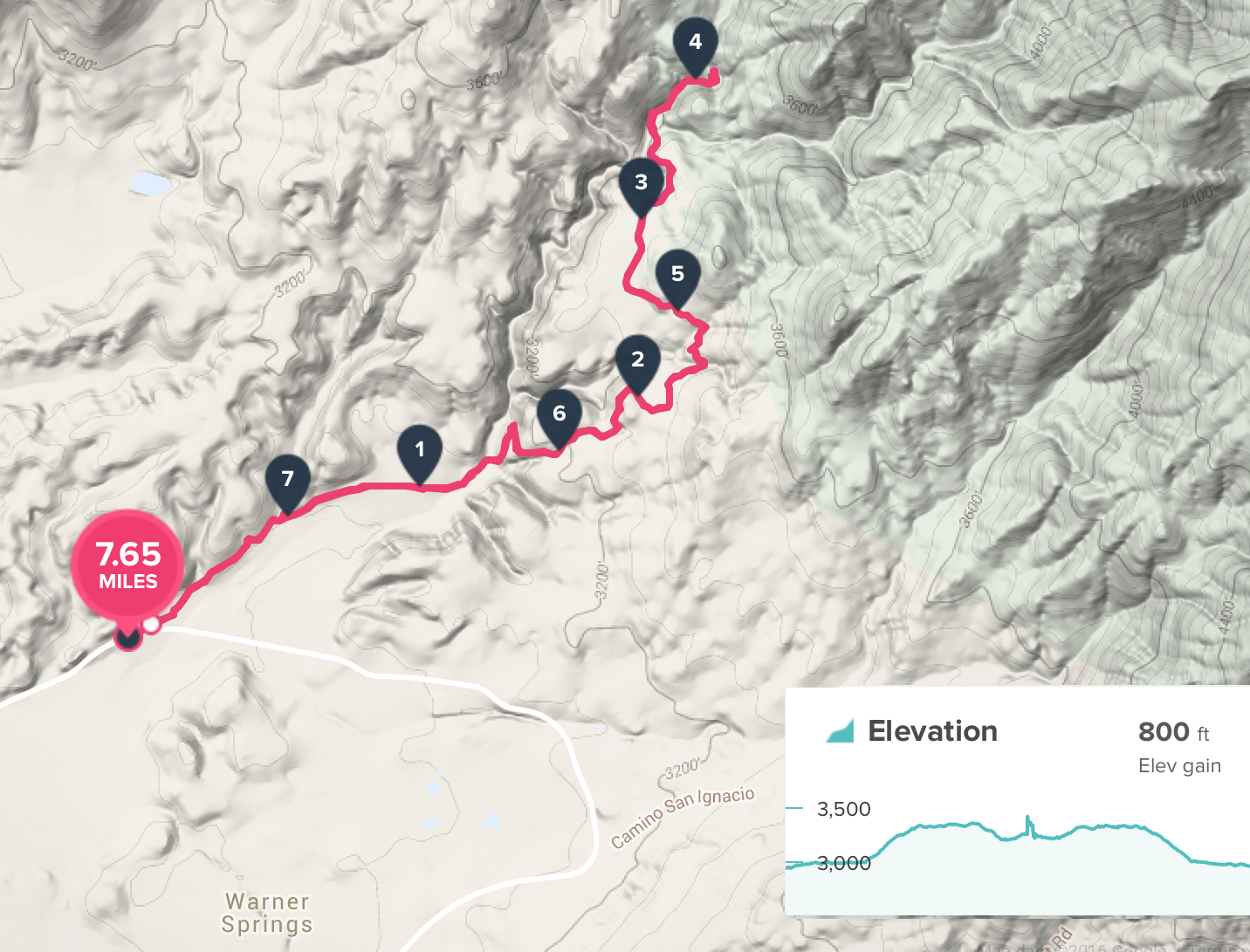
6 – Cahuila Mountain Trail. Jojoba Hills Hikers. (Feb 9th)
Once again, pics are pending.
 Cahuila Mountain Trail
7 – Pacific Crest Trail @ Warner Springs to HWY S22 via Eagle Rock. Hiked with Ray (met in the Big Bend NP area several years ago) (Feb 12th)
Once again, pics pending
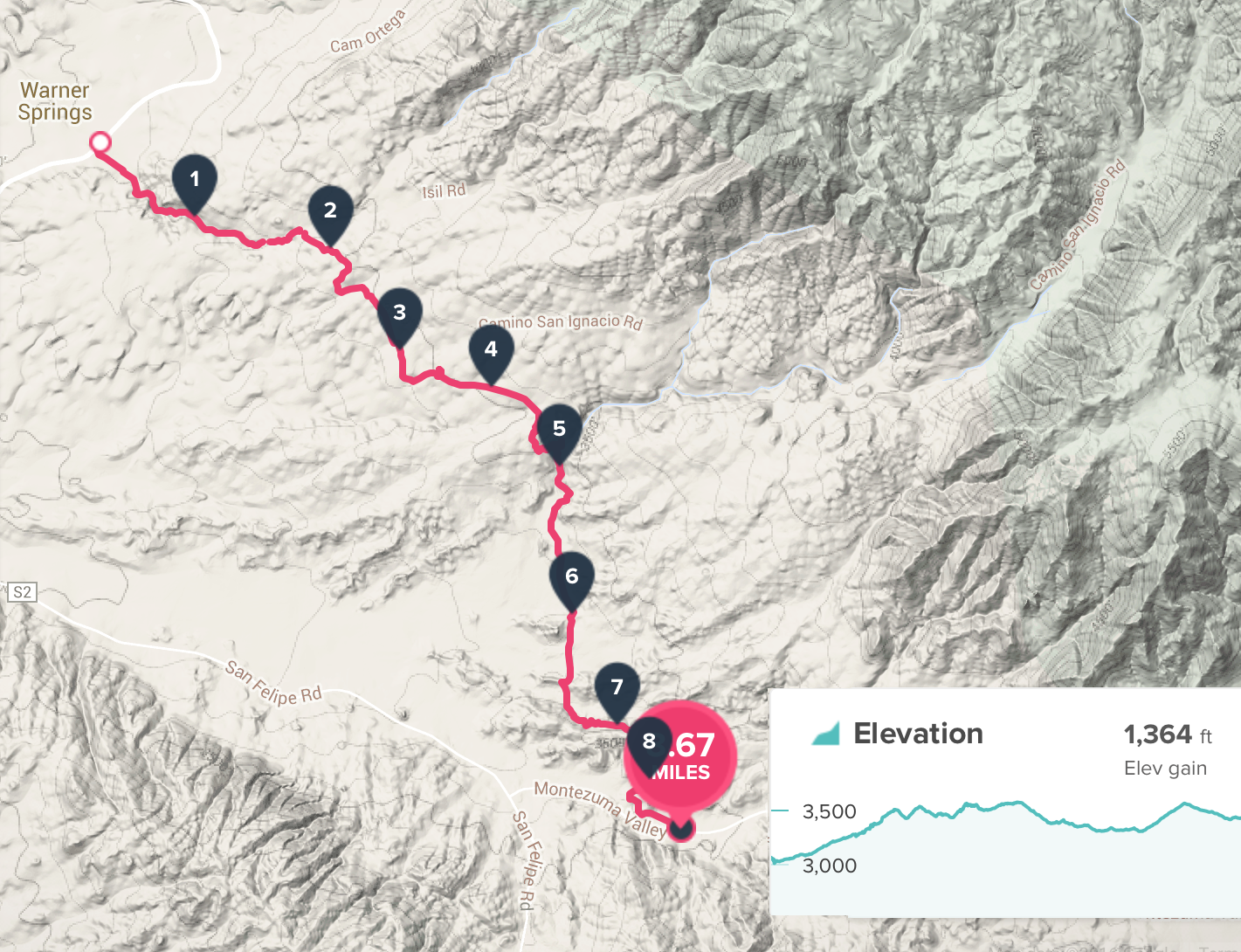 PCT Warner Springs to S22 via Eagle Rock
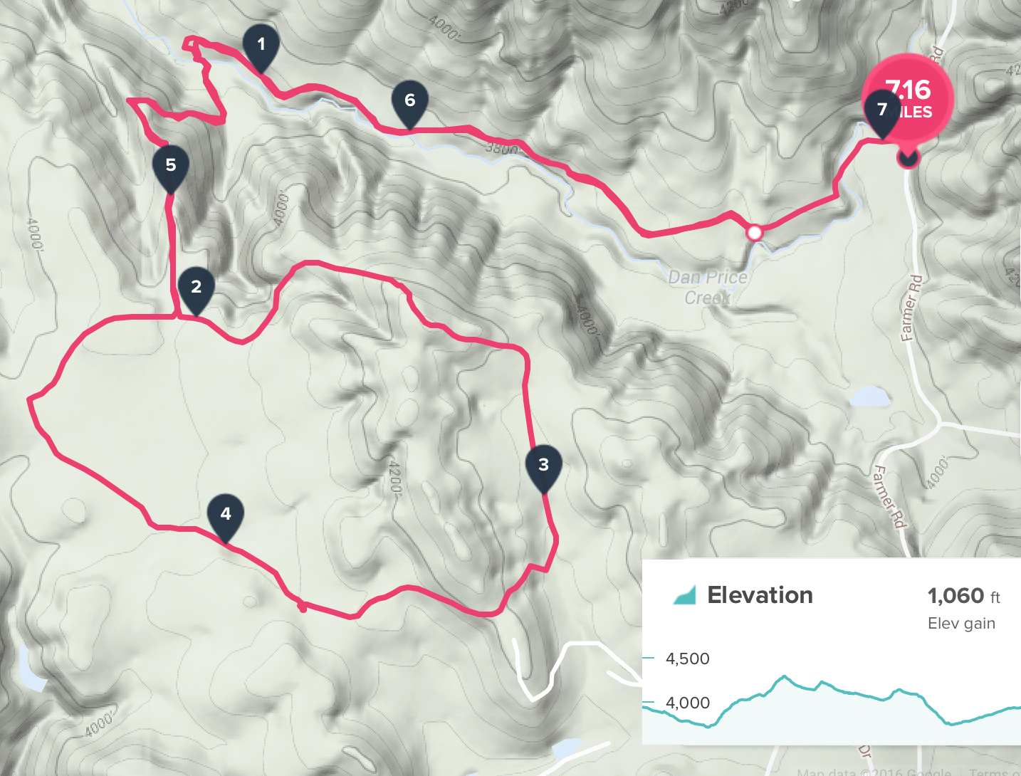
8 –Agua Calente Creek Trail, Pacific Crest Trail Lost Coast Valley Section. Another hike with Ray. (Feb 14th)
Once again, pics are pending.
 Agua Calente Creek Trail PCT Coast Coast Valley section
9 – Upper Santa Ysabel Creek Trail – San Diego Open Space. Jojoba Hills Hikers & Ray (Feb 16th)
Once again, pics pending
 Upper Santa Ysabel Creek Trail
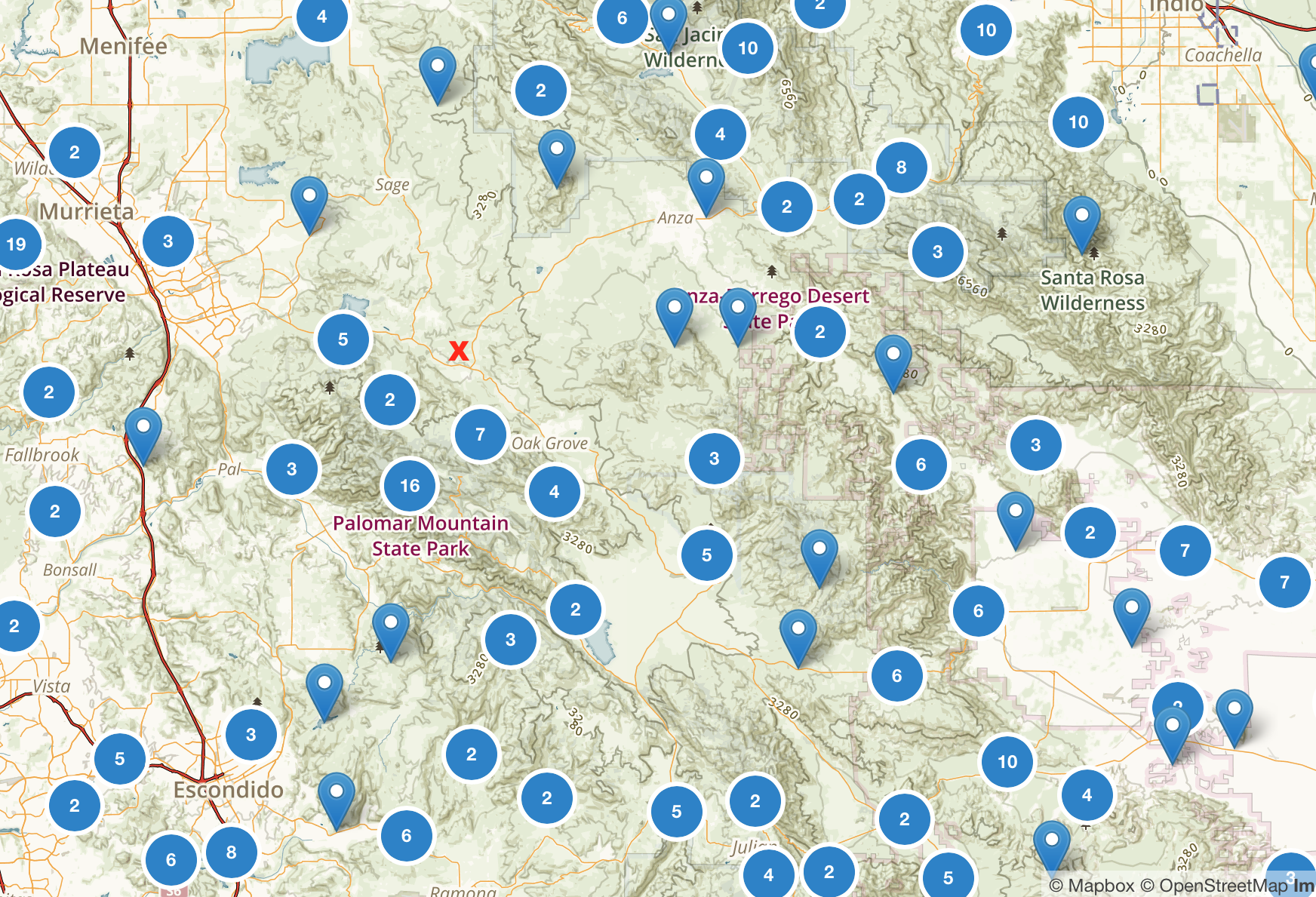 A screenshot of trails in the area from AllTrails. We're located near the red X. Circles with numbers indicate multiple trailheads near that location.
